 My kids are learning to map. They are not memorizing states or capitals, but learning how the world is shaped and how settlements and historical events relate directly to the surrounding geography.
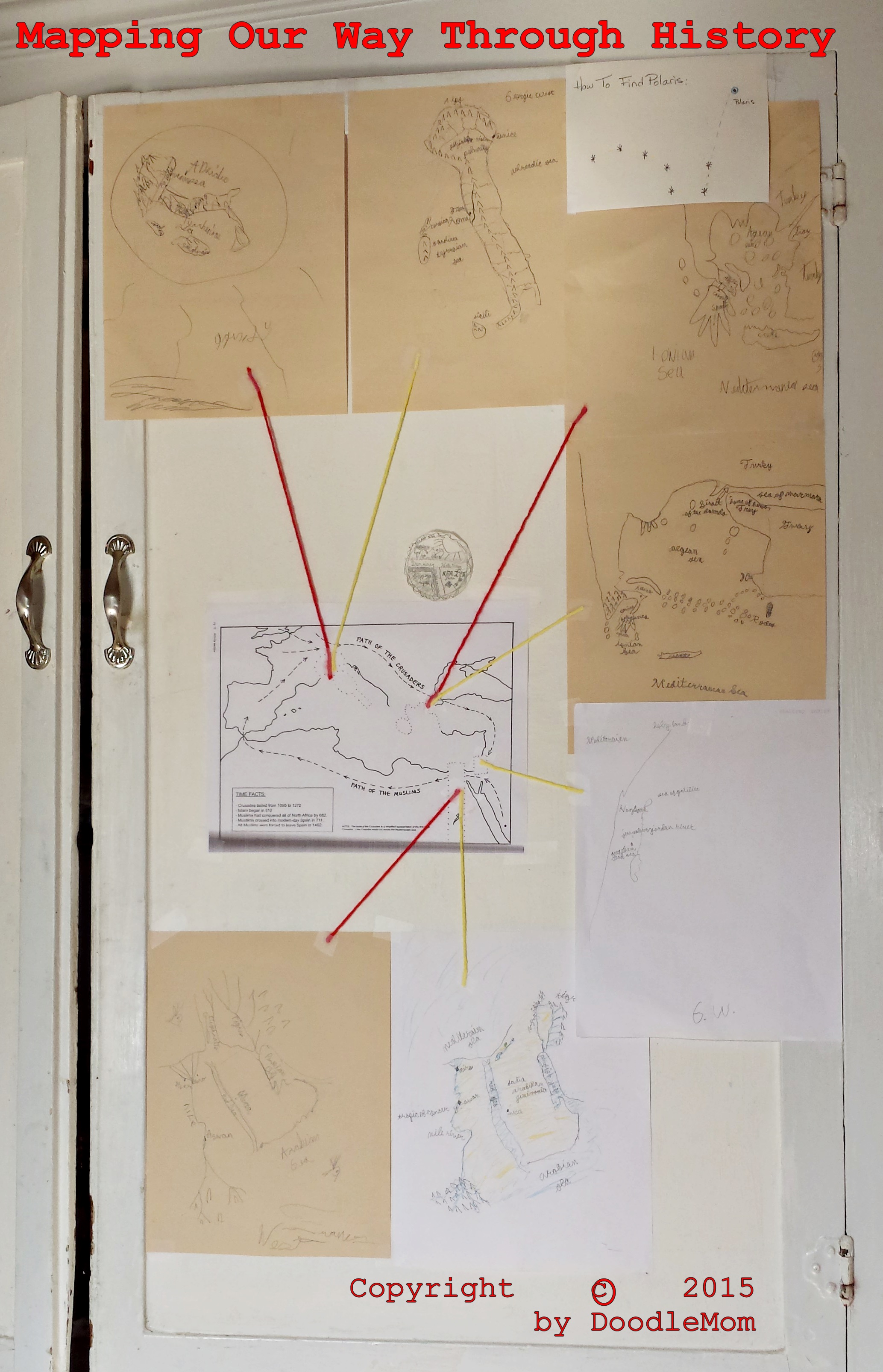
We start with a blank piece of paper and they free-hand draw the general area they are studying. And then they fill in the major mountain ranges, rivers, and cities (historical and contemporary).
Once they have a number of maps of areas located in a general geographic area, we lay them out and relate them to each other and to a broader event.
I adapt a book written by Ellen J Mchenry that guides us through the geography of the entire globe, providing historical context as we go. It fits beautifully with a classical homeschooling progression (Ancients to Medieval to Renaissance to Modern) and is flexible enough I can match it very closely with the other materials the kids are using.
And so yesterday we got to a stage that allowed the kids to see that they can map the world of the crusades…
Tons of fun and really thorough way of putting everything together, from G.A. Henty’s Boy Knight story to Susan Wise Bauer’s history books, to astronomy and science. And then some art training as well.
All in all it was a great exercise and I cannot wait to embark on the next set of mapping lessons!